欢迎大家赞助一杯啤酒🍺 我们准备了下酒菜:Formal mathematics/Isabelle/ML, Formal verification/Coq/ACL2/Agda, C++/Lisp/Haskell
GeoTools
来自开放百科 - 灰狐
GeoTools: The Open Source Java GIS Toolkit
GeoTools is an open source (LGPL) Java code library which provides standards compliant methods for the manipulation of geospatial data, for example to implement Geographic Information Systems (GIS). The GeoTools library implements Open Geospatial Consortium (OGC) specifications as they are developed, in close collaboration with the GeoAPI and GeoWidgets projects.
GeoTools2 is developed using the same modular structure as Netbeans and we plan to integrate GeoTools into Netbeans.
uDig is also GeoTools application.
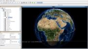
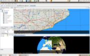
Screenshots
分享您的观点


